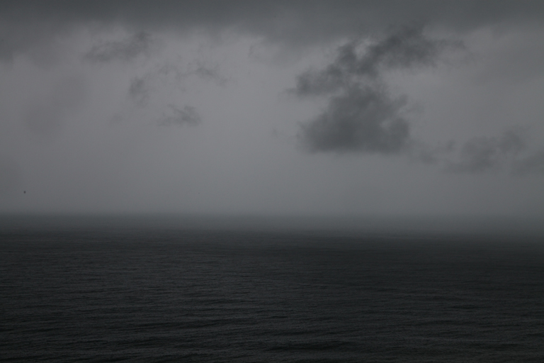
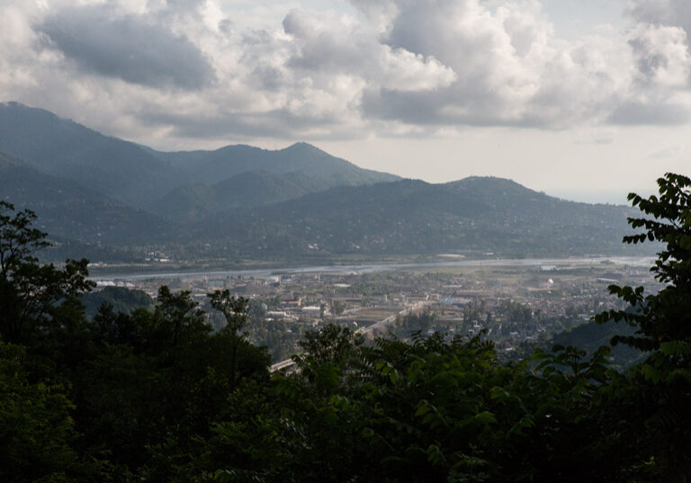
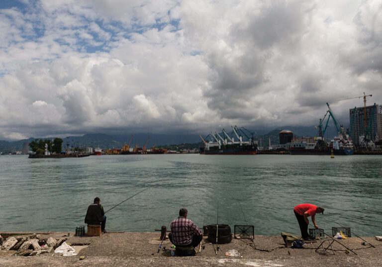
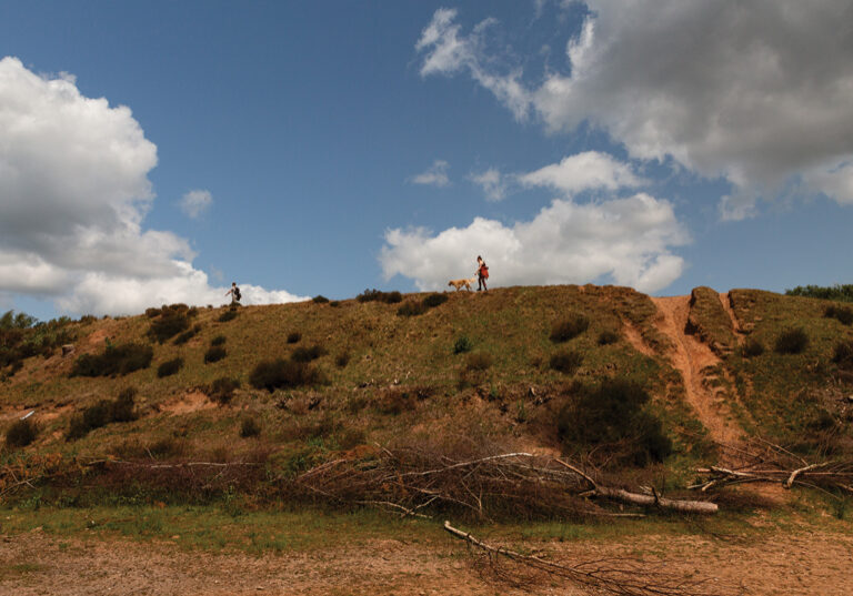
Image: The Black Sea, viewed from the hills above Batumi, 2025.
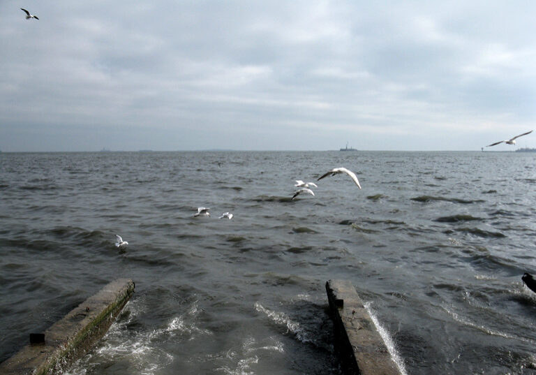
The Ottomans called it called it Bahr-e Siyah or Karadeniz, where the waters of the Kuban, the Don, the Dnieper, the Dniester, the Danube, all gather. It is Marea Negara in Romanian, Chorne More in Ukrainian and Russian, Shavi Zgvha in Georgian. All mean the same: the Black Sea. In the 1st century AD, the Roman geographer Pomponius Mela wrote that at first Greek travellers named it ‘Scythian’ but after facing belligerent locals, storms and overpowering fogs, they referred to it as Pontus Axinus, meaning ‘Inhospitable Sea’. As they began to colonise the southern shoreline and drew it into their civilisation, they called it instead Pontus Euxinus, now hospitable and welcoming. Twice the size of Great Britain, it is an isolated, almost enclosed sea, the water level remaining much the same because of the absence of any high or low tides, and with no fluctuation it looks deceptively serene on the surface.
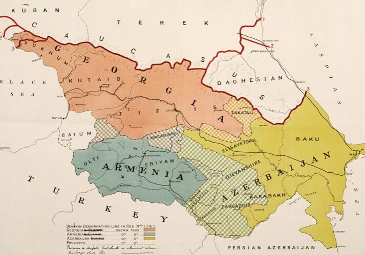
On the eastern side of the Black Sea, the Caucasus is a frontier zone, to the Greeks the very edge of the world where the fire-stealer Prometheus was exiled by the gods, chained to a mountainside where an eagle will gnaw at his liver forevermore. In the Qur’an, the Hebrew Bible and the Christian Bible this is a land beyond which lie the marauding tribes of Gog and Magog, only held back by a huge metallic wall (the Gates of Alexander, as they appear on the Mappa Mundi). Long before the armies of the Tsar will come to this place, the Caucasus is a battleground between the Ottomans and the Safavid dynasty of Persia, their armies surging back and forth like a tidal flow, as if in compensation for the lack of one on the shores of this sea.
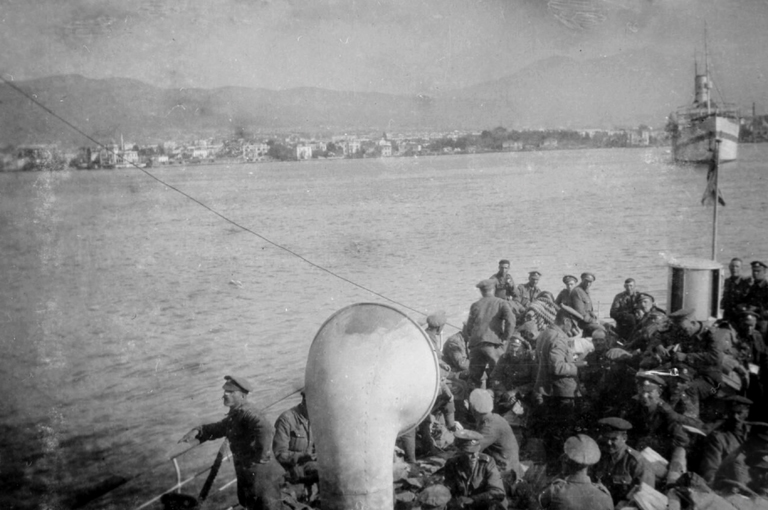
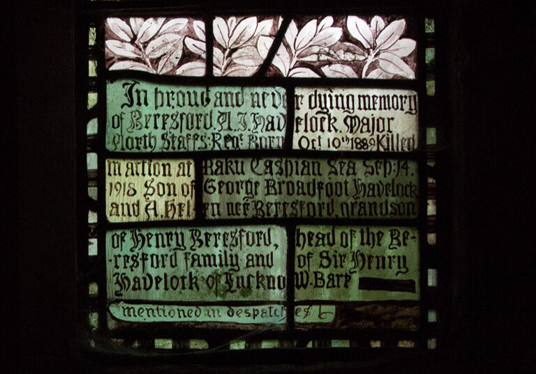
In December 1918, troops from the newly named Army of the Black Sea arrive at the port of Batumi, shipped from Salonika. Their first job is to remove the Turkish troops occupying the town, then they spread out along the Trans-Caucasian railway. The War Office directive: “to ensure that the terms of the Armistice are complied with in full by the Turks, to re-open the railway and pipe-line between the Black Sea and the Caspian, and to that end to occupy Baku and Batoum, and probably Tiflis, and so much as may be necessary of the railway.” The town is declared a free port and a British protectorate.
British troopships approach Batumi, December 1918. Photograph by Robert Cotton Money, Imperial War Museum collection Q51672.
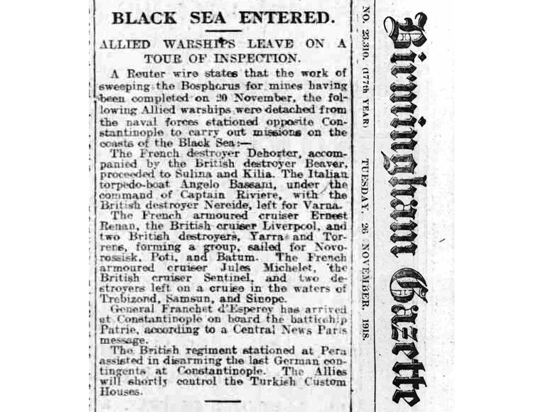
Birmingham Gazette, 29 November 1918.
THE WAR ON RUSSIA
(TO THE EDITOR OF THE BIRMINGHAM GAZETTE)
Sir. – I wonder how much longer we have
got to wait before we have our men folk
at home. My husband joined up at the
outbreak of war, drafted to Salonika,
served three years and four months out
there. He has had his first leave, and as soon
as he landed back was drafted to Russia.
Why not send the conscripts that went last
and release those that went first?
– Yours, etc.,
–Tamworth. A SOLDIER’S WIFE.
Birmingham Gazette, 3 January, 1919.
