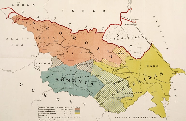
Image: Caucasus Boundaries, British Library: India Office Records and Private Papers, Mss Eur F112/570, ff 40-40a, in Qatar Digital Library.
The British military map dates from 1919. The red line along the top notes the demarcation point with the White forces of General Denikin, where the Greater Caucasus mountain range runs west to east, between the Black Sea and the Caspian Sea. Here can be found the highest peak in Europe, Mount Elbrus at 5,642 metres (18,510 feet). Batumi at that time is marked as part of an independent province, Adjara. Even today, as part of Georgia it still has autonomous status, noted in the republic's inaugural constitution, and later guaranteed at the Treaty of Kars in 1921 which established the borders between Turkey and the three new Soviet Transcaucasian Republics. The map shows the railway line connecting Baku in the east with Batumi and Poti in the west. It also indicates some disputed territories with Armenia and Azerbaijan, Karabakh being one (and the site of wars between the two countries in 1994 and 2020).
A British Foreign Office Handbook from 1920 – ‘Caucasia’ – comments: “The agricultural resources of Georgia are considerable. The following products are grown: wheat, barley, maize, cotton, rice, tobacco, tea, etc. Wine is grown very extensively, and its quality is equal to the superior French and Italian varieties.”
They also say: “All along the Black Sea shore orange and lemon trees are plentiful; wonderful rhododendrons luxuriate up to a height of 9,400 feet and alpine grasses are met with even at 11,500 feet. On the high mountains there are still to be found bisons, wild goats, hogs, reindeer, antelopes, etc. There are also four hundred varieties of birds. The climate and beautiful scenery make Georgia very attractive, the Riviera on the Black Sea.”
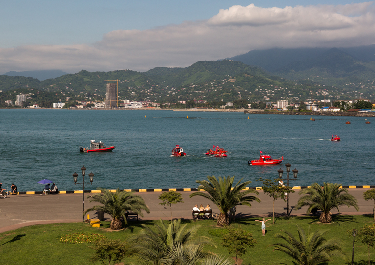
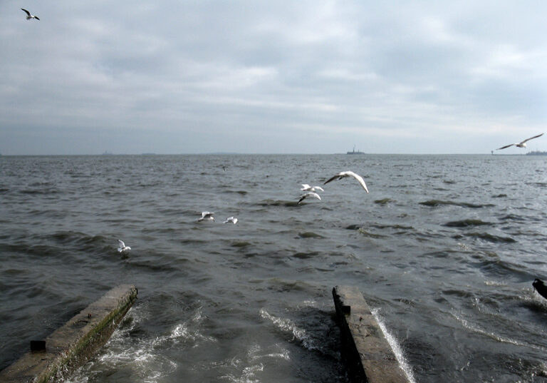
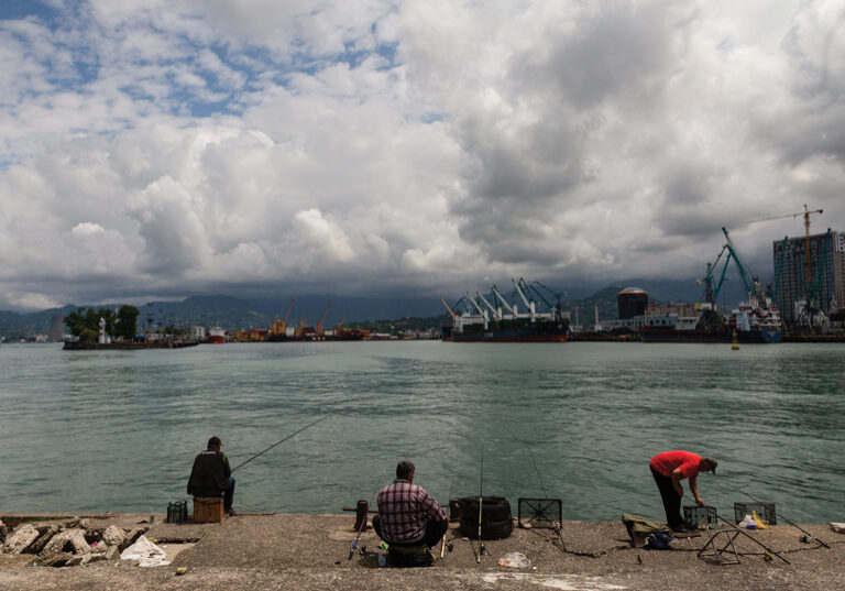
Batumi seafront, 2025.
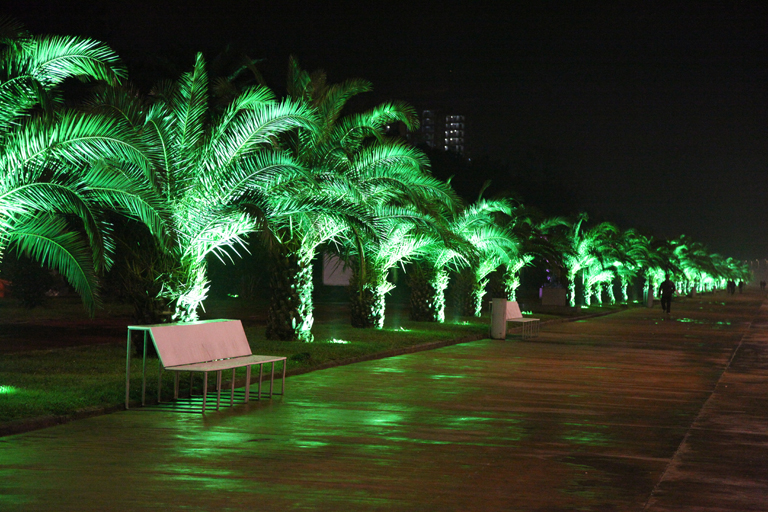
Batumi seafront, 2025.
However, the Handbook adds a note of caution:
“Caucasia as a whole is handicapped by the length and severity of its winters and the mountainous character of the country. Up to 1914 little had been done to relieve these natural disabilities by the provision of railways and roads, or of adequate accommodation at the ports. A further disadvantage lies in the lack of union among the population, accentuated of late by the increase of political power among the Armenians. The exodus of the Turks, who owned the prosperous tea and tobacco plantations, was an economic loss, though they may be replaced by the Armenians, Tatars, or Georgians. The British consular report for 1913 described Caucasia as a poverty-stricken country, making only the slowest progress. This estimate seems harsh in view of the increasing exports from the three chief ports and the development of the large Russian oil trade. The oil-fields, however, are exploited by international capital, so that most of the profits derived from the trade leave the country. It should be noted, too, that in the new fields oil is found at greater depths than in the old, so that, unless American deep-drilling methods are introduced, production may cease to be profitable. The manganese industry has made great advances, but so far has yielded small profits only, on account of the cost of transport. The increased value of the cereal exports has chiefly benefited a few large landowners.”
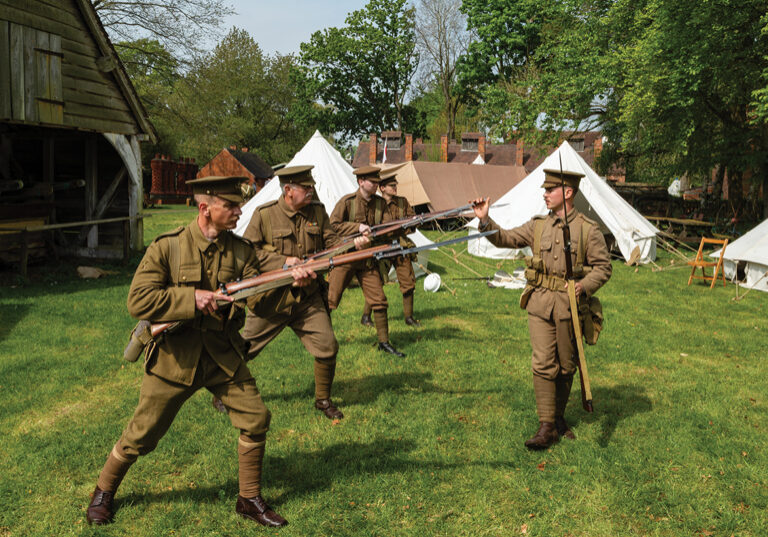
The average British soldier, arriving here at the end of the First World War may not be privy to this intelligence report. Rather, they might know this from legend; as the land of ancient Colchis, visited by Jason and the Argonauts in search of the Golden Fleece, or of the high mountain peak where Prometheus was chained by the gods to punish him for giving fire to mortals. Perhaps some would know the lines of Shakespeare as spoken by Henry Bolingbroke in “Richard II”: O, who can hold a fire in his hand. By thinking on the frosty Caucasus? Or cloy the hungry edge of appetite. By bare imagination of a feast?
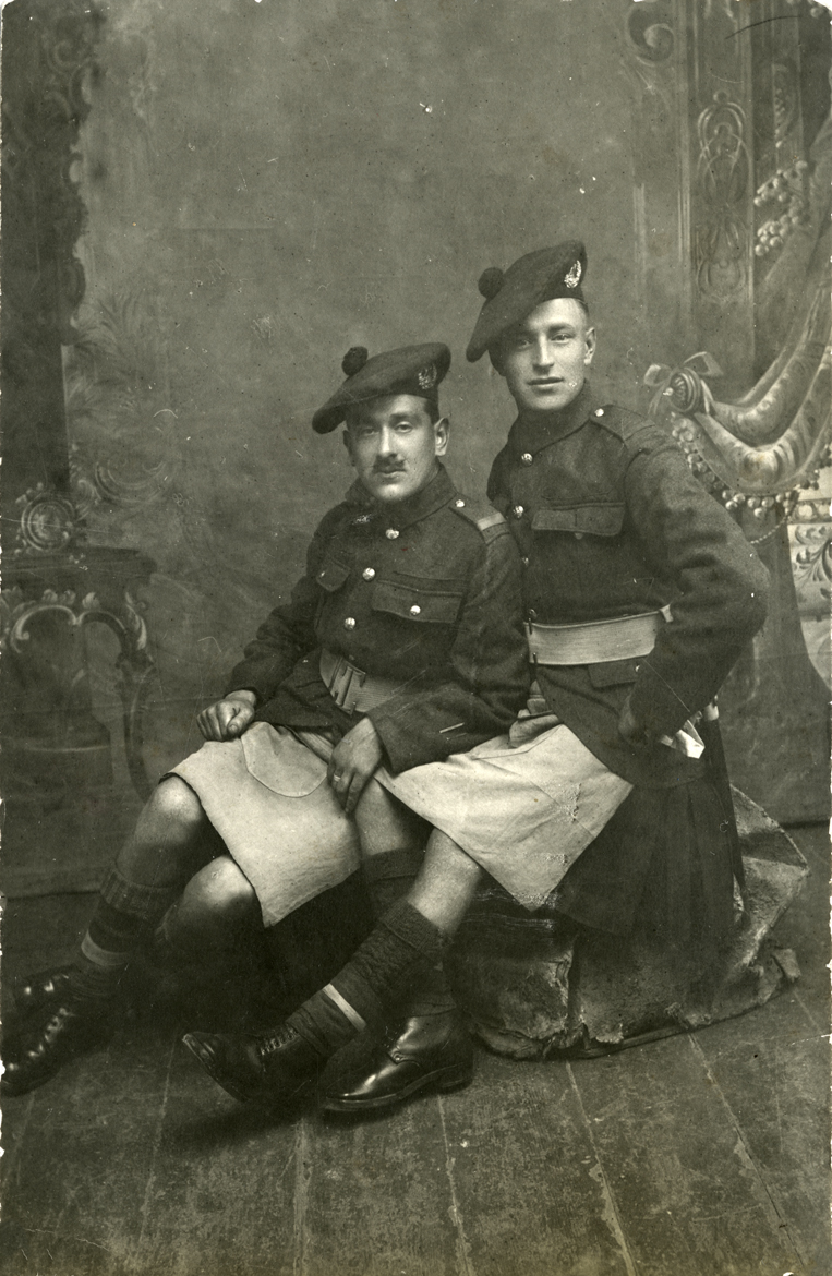
Scottish troops, photograph by Isaac Shikhman Studio, Tbilisi, 1918-19. Georgian National Archives
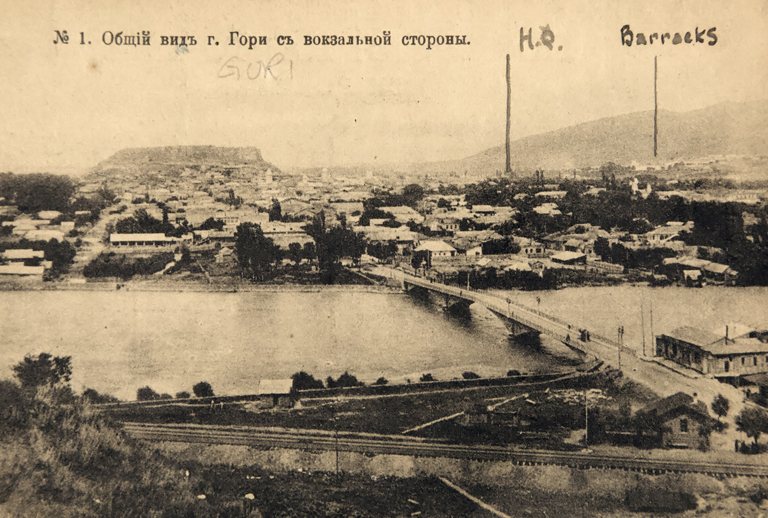
Postcard of Gori, 1919.
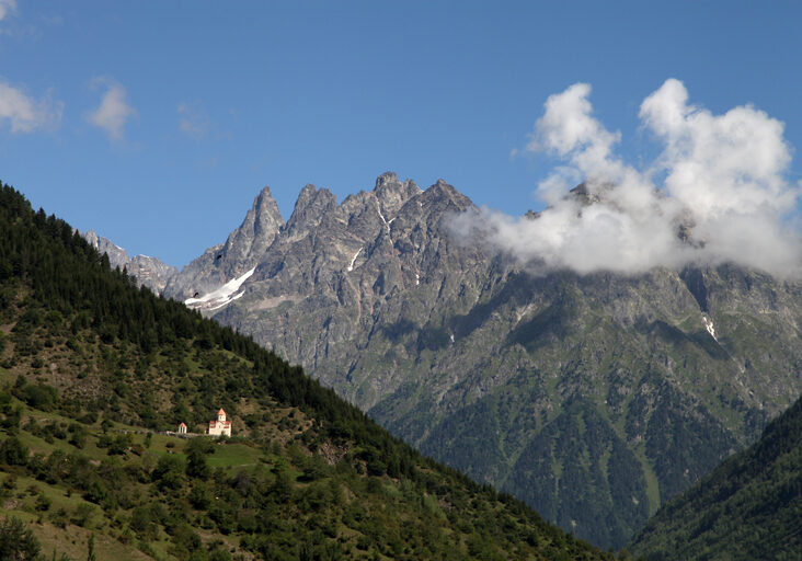
Further to the south, the Lesser Caucasus mountains run parallel with the northern range, at their highest point reaching 4,090 metres (13,420 feet). The borders between Georgia, Turkey, Armenia, Azerbaijan and Iran are defined by this range, the border with Russia running along the northern peaks of the Greater Caucasus.
At 69,700 square kilometres, Georgia is similar size to the Republic of Ireland (70,273 square kilometres). One third of the country is mountainous, with a subtropical climate in the west along the Black Sea coast and a dry, continental climate in the east. The native name is Sakartvelo, meaning ‘land of Kartvelians’, derived from the core central Georgian region of Kartli. Kartli dates back to the 3rd century, adopting Christianity in the 4th century and becoming a central part of the Georgian kingdom by the 11th century. It was one of the routes of the Great Silk Road that connected China with the Mediterranean world.
The Georgian Military Road, running north from Tbilisi to Vladikavkaz was once the only route for armies and merchants to cross the northern mountain range. Russian troops first came down his road in 1769; when Russia annexed Georgia in 1801, Tsar Alexander I ordered the road be improved, a task that took them some 16 years.
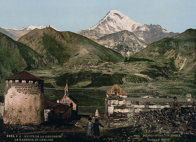
19th-century postcard of Georgian Military Road, near to Mount Kazbek, Stepantsminda. Gergeti Trinity Church can be seen on the peak to the left.
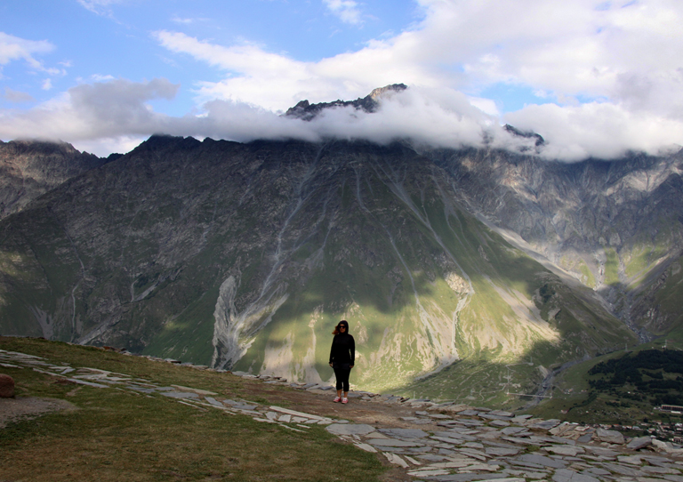
View towards Stepantsminda, from Gergeti Trinity Church, north-eastern Georgia.
Sergeant William Richard Allen was with Commander Locker Lampson’s Royal Naval Air Service Armoured Car Division, who were moving south from Russia down into the Caucasus in 1916. He wrote: ‘We travelled along the most wonderful road in all Russia. This joins Europe to Asia. It consists in nearly 130 miles of metalled road with many a hairpin bend and precipitous 3-mile drops on either side. Armoured cars had never been seen along it before and the villagers poured out in eager interest. There was wonderful scenery here not even surpassed in Wales! After crossing the Caucasus, we came to Tiflis in Asia, and what fruit there was here! Grapes in abundance for practically no value.’
Locker Lampson noted that it was narrow, winding and very steep in places and ‘necessarily sluggish’ due to the amount of ‘ancient carts, slow-moving camels camels and dromedaries, mule teams, ox wagons with circular spokeless wheels, and caravans extending often for hundreds of yards.’ In places the road was ill-kept, at one spot rocks tear several holes in the base plates of their cars. ‘This damage, however, seccotine, soap and medical plaster managed to overcome in half an hour.’
In March 1919, Colonel Toby Rawlinson set out on an intelligence-gathering mission along this road from Tbilisi, traveling with his driver and an interpreter in a Ford Model T truck, with two machine guns mounted on the front. They travel up to the Darial Gorge and across the border. The gorge itself is a marvellous sight, crossed by a small red bridge. He later writes: “They call it, as was, I suppose, almost inevitable, the Devil’s Bridge, and it looks enchanted. It is overhung by gigantic cliffs, the great walls of the corridor of the gorge. The river which rushes underneath is something incomparably stronger than the bridge itself; it is a monster wallowing, plunging, roaring, thundering, lifting up a hundred dirty heads. No horse or man would stand a chance in its current; even the great glacial boulders, weighing tons, are rolled over and over by its waves, and, shutting one’s eyes, one listens to an uproar as of the heaviest street full of traffic on Cheapside.”
The Soviets tried to ignore topography and attempted to drill tunnels under the Greater Caucasus in the 1980s, intending to have a railway connecting Vladikavkaz in Russia with Tbilisi in Georgia. They planned some 72 bridges and 38 tunnels to get across the mountains, but the project was abandoned.
