by Brendan Jackson | Sep 7, 2025 | Sites of Memory
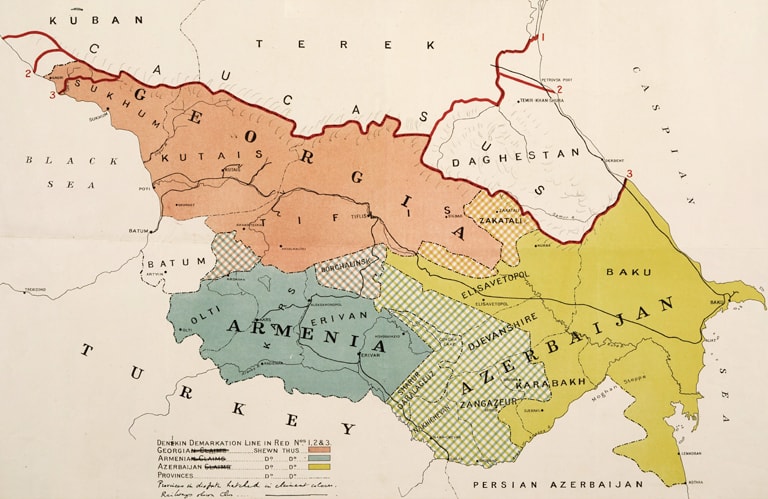
Topography Image: Caucasus Boundaries, British Library: India Office Records and Private Papers, Mss Eur F112/570, ff 40-40a, in Qatar Digital Library. The British military map dates from 1919. The red line along the top notes the demarcation point with the White...
by Brendan Jackson | Sep 4, 2025 | Sites of Memory
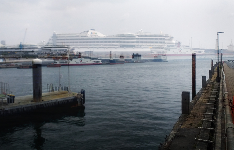
Southampton Town Quay Image: Southampton water, from town quay, looking toward the Ocean Cruise Terminal. Southampton water is a tidal estuary, with the port city of Southampton at the most northernly point, where the rivers Test and Ichen meet. Once the main point of...
by Brendan Jackson | Sep 4, 2025 | Sites of Memory
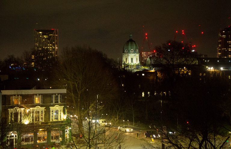
Imperial War Museum, London Image: The dome of the Imperial War Museum, Lambeth Road, London. The Imperial War Museum was founded on 5 March 1917, when the War Cabinet approved a proposal by Sir Alfred Mond, the Commissioner of Works, for a new museum to be...
by Brendan Jackson | Sep 4, 2025 | Sites of Memory
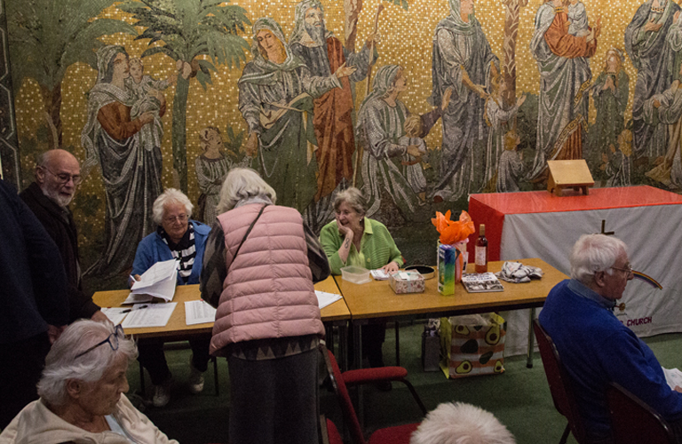
All Saints, West Bromwich Image: Monthly meeting of West Bromwich Local History Society at the church. All Saints Church sits on the northern end of All Saints Way, at the junction with Newton Road, where the roads lead to Great Barr and Walsall. The tower dates back...
by Brendan Jackson | Sep 4, 2025 | Sites of Memory
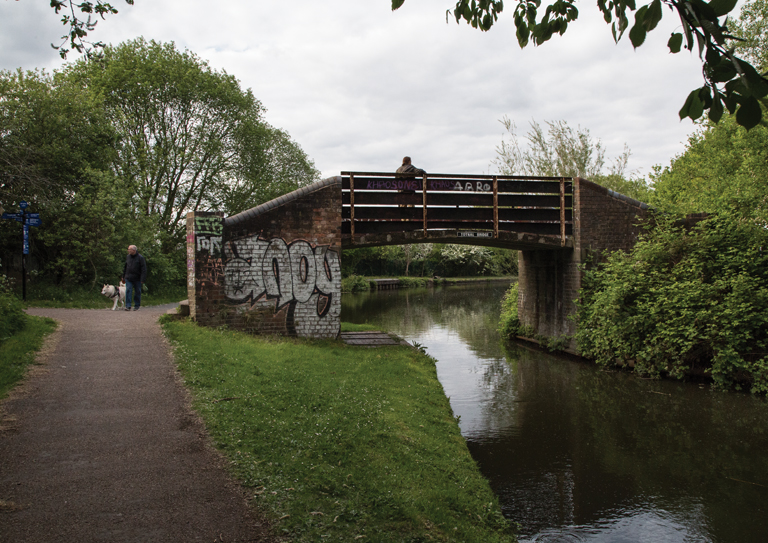
Old Hill, Cradley Heath, Sandwell Image: Totnal Bridge at Old Hill. Wilfred Cutler lived with his parents, William and Joannah, at 25 Lion Road, Old Hill, one of several terrace houses leading up to the canal basin, where the barges load coal and Totnal bridge stood....
by Brendan Jackson | Sep 4, 2025 | Sites of Memory
Central Library, West Bromwich Image: The foyer of the Central Library, West Bromwich, where the Book of Memory can be seen. Under the stairs in the foyer of West Bromwich Central Library, you will find a Book of Memory, dating from 1926, which lists the names of all...
Recent Comments